Where it is
Sylmar is the northernmost neighborhood of the City of Los Angeles, nicknamed “the Top of Los Angeles,” at about 1,270 feet in the northeast San Fernando Valley. It borders the City of San Fernando to the southeast, Mission Hills to the south and Granada Hills to the west, with the Tujunga, Lopez and Kagel canyons to the north and east. Its ZIP code is 91342.
Its roots
The name comes from the Latin for “forest” and “sea,” for the sea of olive trees once planted here. Settled as Morningside in 1874 and renamed Sylmar in 1893, it began growing olives in 1890, and by 1906 its grove was reported to be the largest in the world. The February 1971 San Fernando earthquake, magnitude 6.5, is also called the Sylmar earthquake.
Schools
Public schools are part of Los Angeles Unified, including Olive Vista Middle on Tyler Street and Sylmar Charter High on Borden Avenue. Elementary schools in Sylmar include Sylmar, Harding Street and Dyer Street elementary. Always confirm the assigned schools for an address with the district.
Parks and open space
El Cariso Community Regional Park covers 79 acres with a pool, ball field and picnic areas, next to the county’s 18-hole El Cariso Golf Course. Veterans Memorial Community Regional Park on Sayre Street has trails, disc golf and picnic shelters. In the foothills, the 240-acre Wilson Canyon Park has a year-round creek and trails for hiking, horses and bikes.
Getting around
Interstates 5, 210 and 405 and the Ronald Reagan Freeway (SR-118) all serve Sylmar. The Sylmar/San Fernando Metrolink station on the Antelope Valley Line has 375 free parking spaces. The East San Fernando Valley light rail is under construction from Van Nuys toward San Fernando, with service expected in 2032. The Nethercutt Collection on Bledsoe Street shows more than 130 classic cars.
The homes
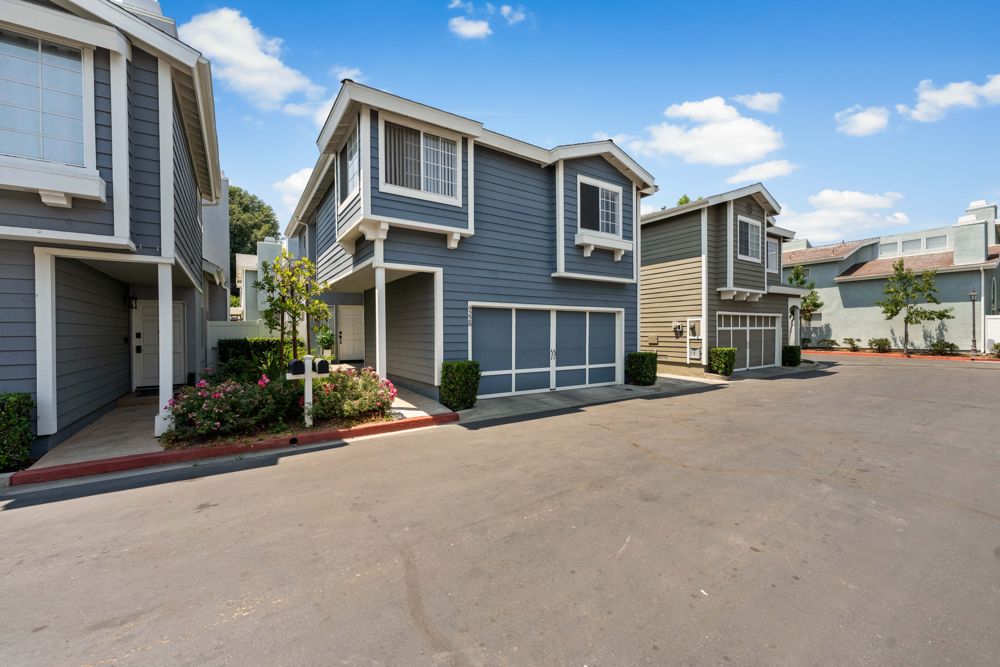
Sylmar grew fastest after the freeways were finished in 1963 and 1981 and Olive View-UCLA Medical Center reopened in 1986. It has long been horse country, with corrals on large lots and trails into the San Gabriel Mountains, and City Planning lists Sylmar among the Valley’s horse-keeping (K) districts. Whether a lot allows horses depends on its zoning and size, so I check that for every home.
Market: Redfin 91342 page, September 2026; SRAR San Fernando Valley report, September 2026. Location, name, history, freeways, homes, El Cariso and Veterans Memorial parks, and elementary schools: Wikipedia. Earthquake: NBC Los Angeles. K districts: LA City Planning report, June 2026. Schools: Ed-Data. Golf course and Veterans Memorial Park: LA County. Wilson Canyon Park: MRCA. Metrolink: Metrolink station page. Light rail: LA Metro. Nethercutt: Nethercutt Collection.